2/28/10 Sunday
Photos: http://silverserenity.shutterfly.com/738
Today started out as another beautiful day in the desert. We got everything together and locked down for travel. Hey, where did everyone go???? On Sunday mornings the group all goes out for breakfast at Bombay Beach which is north of here. The breakfast is supposed to be wonderful there. Maybe next time we will be able to go with them but for today, it is on down (or should I say “up”) the road!
Heading north on CA Hwy 111, our first stop was at the Salt Creek Beach Salton Sea State Park. This park is located on the eastern side of the Salton Sea. The park has lots and lots of birds there. Most of these birds are better known for being at the ocean instead of inland. But with the salty content of this water, I am just guessing this must draw them.
We kicked off our shoes and walked in the warm sand. It felt so good until we encountered the sharp shells on the beach. I am not sure how to describe them other than saying shell. They are short ¼ inch tubes that must have housed animals in the sea but have washed up on the beach. See the photos for a better understanding.
From here we were able to see the snow on the Little San Bernardino Mountains even better. It is amazing to see the combination of desert, salt sea, mountains and snow all in one area.
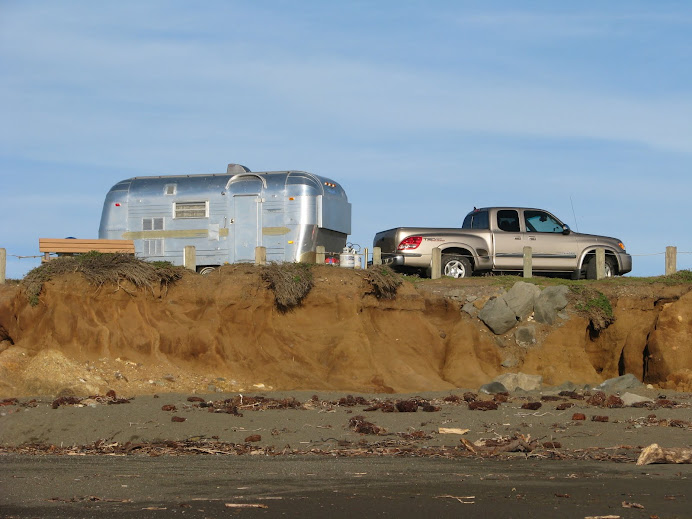
At the top of this blog is a photo taken with the truck and trailer and a train. While we were at the Park, a similar train came by. We had fun making more photos of the train with us and the truck/trailer again.
North from the Salton Sea Recreation Area hwy 111 joins I 10 west at Indio and towards Palm Springs, CA. Just before Palm Springs the wind mill farms began. It seems that the number of windmills have grown over the past couple of years. Also there are new ones that are built on a metal framework instead of a single pole.
To avoid the Los Angeles area we took hwy 62 towards Morongo Valley and Yucca Valley and around the Joshua Tree National Park. Morongo Valley seemed to be a nice place. It was small having a population of only 1,550. The road proceeded up out of the valley. Notice I said “up”. (See photo 3445.) Homes were built into the side of the mountains and you had to look hard to see them. (Photo 3446.) Joshua trees were all along the road and mountain sides.
Yucca Valley was very nice. As you enter Yucca Valley the homes on one side of the road all had the same color roof. (Photo 3449.) The town spread out in length along the highway. We stopped at a McDonald’s to update photos and blog. At 5:00pm we were back on the road again.
Just past Yucca Valley we took Hwy 247. Now the first part of this road was exciting. First we saw the homes in a large sub-division which were along both sides of the highway and up the mountain. Large boulders were all part of the make up the countryside.
At the top of the mountain, the landscape became more flat with mountains in the distance. Then out of no where the road took a rollercoaster ride. This was like climbing the hill and the drop off where the bottom is a long way down. Thankfully this only happened a couple of times before the road turned fairly flat again.
The sun started to set after passing Lucerne Valley. While the goal for the day was Bakersfield, we only made Apple Valley which is just before Victorville. We needed gas and spotted a Wal-Mart that allowed over night parking. It wasn’t a Super Wal-Mart so no groceries or gas.
We will call it a day here and begin the adventure again in the morning. Good night to all.
Subscribe to:
Post Comments (Atom)


No comments:
Post a Comment